Wednesday, October 31, 2012

Labor Day Hurricane of 1935 and Sunrise and Sunset trajectory

The Great Labor Day Storm of 1935. This was a hurricane that occurred on Labor Day in 1938, and was a traumatic category five hurricane. It had a minimum pressure of 892 millibars, and it caused 423 deaths in Florida  This a considerable number of deaths considering the time period, the 30's. It was the third most intense hurricane on record to date. The hurricane was very intense with numerable strong winds. A woman got blown 40 miles from the FL keys to Cape Sable. This storm is very comparable to the hurricane of 1992, Hurricane Andrew.

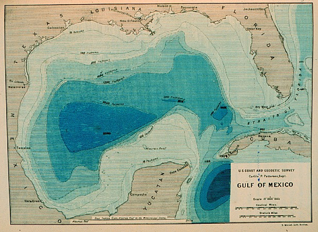
This picture shows the trajectory path of the Hurricane going up the coast of Florida.
http://www.youtube.com/watch?v=o4b4sLbSZWQ

This you tube video gives an insight to the damages that occurred on Labor Day. A documentary is taken from an older man who lived through this hurricane.

This is the Trajectory of the Sun, it includes both the sunrise and sunset times, Wednesday October 31st

Monday, October 22, 2012

Sunrise/Sunset times for various places in the World

El Alto- Bolivia

Sunrise: 06:00
Sunset: 18:34

Cincinnati OH

sunrise- 07:55
Sunset- 18:49

Albany NY

Sunrise- 07:17
Sunset- 18:01

Columbus Nebraska

Sunrise- 07:50
Sunset-18:37

Huntsville AL

Sunrise- 06:58
Sunset- 18:03

Wednesday, October 17, 2012

Wind Rose Plot/ how to make a barometer


This is a Wind Rose plot of the whole month of February blowing from in Augusta.

 This is a wind rose plot blowing from in the month of May in Augusta

This is for the month of February for blowing to in Augusta.

Wind Rose plot: easterly and westerly wind (coming from and going to)
A wind rose plot is a graph that shoes wind speed ranges and how that wind is distributed among a particular area.

How to make a barometer:
This you tube video explains step by step how to make a barometer to measure air pressure.


Sunday, September 2, 2012

Hurricane Issac video


This is a video showing just the minimal affects that Hurricane Issac had on the U.S.
This particular video shows the clips of the News anchor men, talking about the damage, as well as the people living in the surrounding damaged areas. It shows the great winds that come from the hurricane.

Environmental Sensitivity Map


This is an example of an environmental sensitivity map. They are used to show the risk that the coastal resources have if an oil spill were to occur. According to this map, the resources inside the circles are the most at risk.

Bathymetric Map


This is an example of a Bathymetric map. Bathymetric maps are used to represent accurate information of the submerged terrain. It is just the opposite of a topographic map. The topographic maps are used to show the terrain from an uphill angle.
first realistic bathymetric map of any oceanic basin in the Gulf of Mexico

Isopleths Map


This isopleths map shows the total precipitation in the U.S. for 1996. According to the key, the mid western states received less than or equal to 20 cm, as where the far western states (Washington), received greater than or equal to 200 cm. An isopleths map is generally used to simplify information within a region.

Proportional Symbol Map

http://www.google.com/imgres?um=1&hl=en&sa=N&biw=1092&bih=514&tbm=isch&tbnid=vbuEm_NTl-pcmM:&imgrefurl=http://personal.frostburg.edu/sbriggs0/maps.htm&imgurl=http://personal.frostburg.edu/sbriggs0/USA_GradCirclefinal.jpg&w=1650&h=1275&ei=QelDUJu3JtKK6QG4noDYDQ&zoom=1&iact=rc&dur=316&sig=100894250811008067076&page=1&tbnh=134&tbnw=161&start=0&ndsp=11&ved=1t:429,r:4,s:0,i:154&tx=11&ty=77

This is a proportional symbol map that shows Wal-Mart’s in the U.S. per state. According to the key, the smallest dot represents 1 Wal-Mart’s per state, and the largest dot represents 100 Wal-Mart’s per state. This map shows that Texas is the only state that has the most walmarts, totaling 100. Proportional symbol maps which the areas of symbols are differentiated to the proportion or value of that particular item ( in this case: Wal-mart). 

Dot Density Map

If you cannot see or interpret this image, please ask your instructor for help.

This dot density map is showing the average Hispanic population in a given area. According to the key, one dot is equal to 100,000 people. This map shows a greater population of Hispanic people in California. Dot density maps are used to show the density of something in a particular area; Ex: population data. 

Choropleth Map


This Choropleth map is displaying the estimated Median Household income in 2008, among various states in the U.S. The darker red regions indicate the higher income; where as the lighter shades of red/ pink indicate the lower income areas as stated on the Key. Choropleth maps are used to show the average quantity or values in those areas.